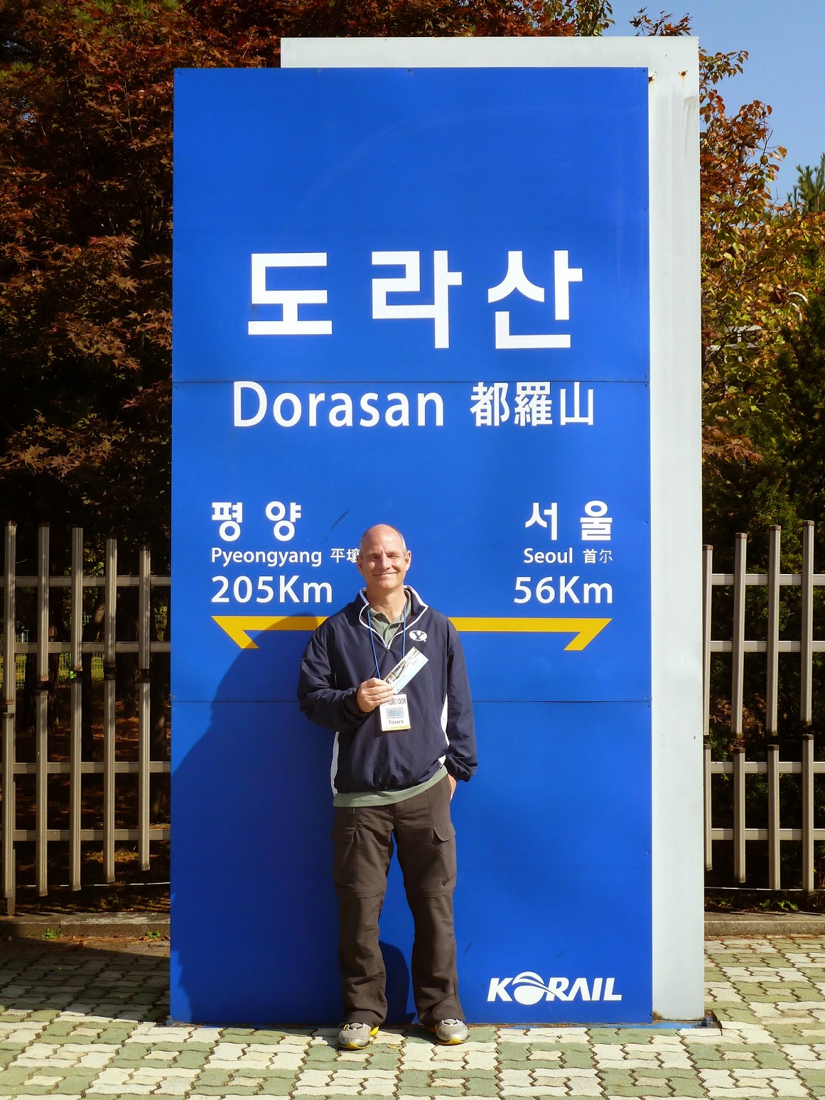
We booked our tour through the USO (United Sevices Organization), which supports and boosts morale among US troops around the world through recreational programs. Our itinerary took us to the DMZ, the JSA (Joint Security Area), the Dorasan Train Station, and the Third InfiltrationTunnel. The bus from Seoul took a little more than an hour to arrive at the DMZ and the visitor's center at the JSA.


Driving past a wooden bridge known as the "Point of No Return", we saw a sign indicating the MDL. Stopping at a viewpoint, we were shown the small white building where the 1953 Armistice Agreement was signed. We also had a distant view of the North and South Korean Flags erected on either side of the boundary. When the South raised their flag at a 100-meter height, the north quickly replaced theirs with a 600-pound steel-thread flag which flies at a height of 150-meters. If you look closely at the photos, you can see the North Korean Flag to the left and the South Korean Flag to the right in the hazy horizon shot below.


North Koreans dug several underground tunnels to infiltrate the South. Four have been discovered and there are supposed to be up to twenty more. The third tunnel was discovered in 1978 with the help of a defector. It is about a mile in length and has three exits to the south. Located just 30 miles from Seoul, and with the capacity of transporting 30,000 soldiers per hour along its length, it posed a real threat to South Korea. Three concrete barriers now block the tunnel which the North painted black and claimed to be a coal mine. We were allowed to make the fairly steep descent into the tunnel with the protection of hard hats.


As we rode the bus back to Seoul, barbed wire fences and guard stations lined the river and served as a harsh reminder that this is a war-torn peninsula. I am saddened with the realization that just a few miles to the north of us are Koreans trapped and suffering under dark and oppressive rule. My prayer is that the many symbols of hope for reunification seen on this tour will soon exist only as reminders of the past. May Korea soon be a unified and prosperous country healed by forgiveness and filled with faith and charity.


No comments:
Post a Comment